Last night, Cyclone Debbie hit the coast of Queensland, Australia as a Category 3 storm. We’ve been using BlackSky to track the aftermath from last night’s devastation and today’s continuing heavy rain and flooding.
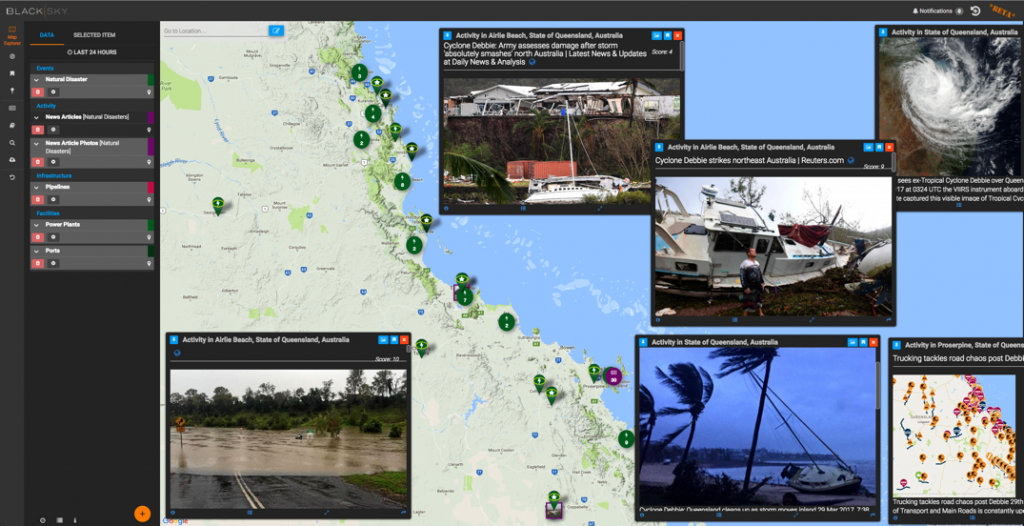
You’ll see in the screenshot below that BlackSky has been configured for our new Natural Disaster topic/theme – showing storm-related events derived from news and social media articles, as well as showing the exact locations of critical infrastructure sites like ports, power plants, and pipelines that are being impacted by the storm. These all become candidate targets for post-storm damage assessments using satellite imagery.

Shooting through the Clouds
Of course, one challenge with hurricanes, cyclones, or typhoons is that they consist of massive cloud banks. Storms make it very hard to shoot with electro-optical sensors until AFTER the storm has passed and the skies have cleared. But what if you want to see what’s happening on the ground DURING the storm?
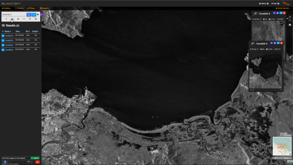
Check out this TerraSAR-X synthetic aperture radar (SAR) image from Airbus that was shot yesterday as the storm was on the brink of landfall (again, all accessible via BlackSky):

While this is a fairly low resolution (4.5m) SAR image, the TerraSAR-X satellite is able to completely ignore the clouds and provide good detail of ground features over a wide area, including early flooding caused by the “dirty side” of the cyclone pushing a storm surge into the low-lying areas.
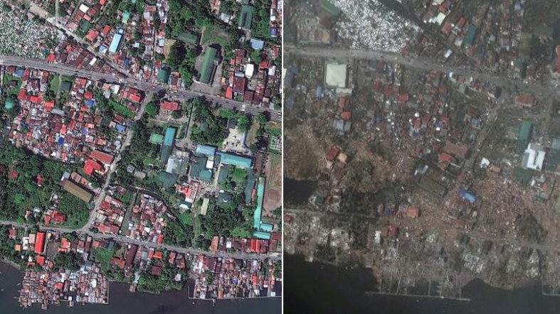
Hopefully tomorrow, we’ll have some nice post-storm imagery to look at in detail. We can use BlackSky to order historical archive imagery and to task new satellite collection of affected areas. Then we can compare the “before/after” imagery to assess the situation, similar to this example from a Typhoon in the Philippines last year:
Until the storm passes,
Scott

